overleaf template galleryLaTeX-Vorlagen — Recent
LaTeX templates for journal articles, academic papers, CVs and résumés, presentations, and more.
This is an unofficial template for writing essays, reports, thesis or any other academic writings.
Plantilla básica para español que usa polyglossia (compila con xelatex) para documentos de clase artículo con márgenes iguales en páginas pares e impares (y no los típicos de encuadernación) y con buen aprovechamiento de espacio para ahorrar papel.
A beamer template using the default colours from IITH.
This template is for KVIS students who have to write reports in LaTeX.
Modelo inicialmente criado para a disciplina de estágio III da licenciatura em física. Este modelo serve para os mais diversos cursos de Bacharelado ou Licenciatura com preenchimento simples, rápido e intuitivo.
Modelo de Trabalho de Conclusão de Curso, de acordo com as Normas para Apresentação de Trabalhos Acadêmicos e Científicos de 2017, do Instituto Federal de Educação, Ciência e Tecnologia do Espírito Santo adaptado para o curso de Bacharelado em Engenharia Elétrica do campus Guarapari.
LaTeX template with the updated sources files for a paper to be submitted to the Elsevier Journal Nuclear Physics B
LaTeX template with the updated sources files for a paper to be submitted to the journal Astronomy and Computing.
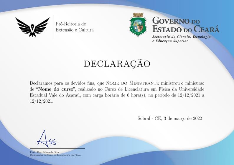
Gerador de Certificados e Declarações simples e funcional, disponibilize certificados e declarações de forma rápida e segura com este modelo de documento. Click em "Abrir como modelo" e crie os seus certificados/declarações.
\begin
Discover why over 25 million people worldwide trust Overleaf with their work.